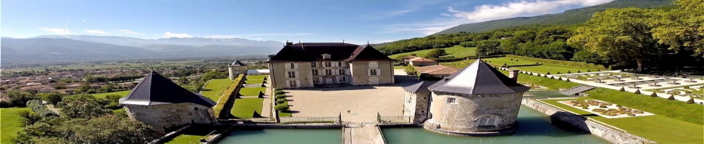
On this heritage trail you will discover, in 9 stages, the village's places of memory and picturesque sites.
Stage 1: Avalon tower and its village
At 33m high, with an inner diameter of about 8m and walls 2m thick on the 1st floor, the Avalon tower bears witness to the history of a family of lords present from the year 1000: the Wallon and Romestang d’Avalon.
Stage 2: oratory
An old oratory nestled in a wall where processions and local people used to stop to cross themselves
Stage 3: Les Rippelets, 17th-century house
Stage 4: Le Crêt viewpoint
Panorama on the Chartreuse side over the Savoie wine slopes and the Mont Granier and its scree.
Stage 5: Les Bruns, former silkworm farm
A magnanerie (a term from the Occitan magnan, meaning the mulberry silkworm moth) is a place where sericulture is practised, that is, the rearing of silkworms.
Stage 6: Répidon - St Joseph chapel
Stage 7: Church. Completed: 1888
Stage 8: Père Gauthier's forge
In 1910, "Père Gauthier" acquired the land and then set up his blacksmith's workshop in a small building he fitted out. At first, it was the traditional activities of tool forging, ironwork and farriery that kept the forge going.
Stage 9: Le Vivier, pond
Below the medieval village of Avalon lies a pond. It was created in 1261 on land belonging to a former Cluniac priory, which can still be seen, and supplied the villagers with the lean meat (fish) needed for the many days of Lent. But this fishpond also played a defensive role: it protected the fortifications to the north-east of the village.